International school · Bukit Nanas
Homes near St. John's International School.
7 minutes on foot from Masjid Jamek LRT (Kelana Jaya Line · Ampang Line · Sri Petaling Line). Compare homes within walking distance or under 40 minutes by rail.
The primary and secondary schools are separate buildings on Jalan Bukit Nanas.
- 43
- Homes within a 20-minute walk
- 6 min
- Shortest walk to the school
- 7 min
- Walk from Masjid Jamek LRT
- RM1,600
- Estimated monthly rent, from
Homes within a 20-minute walk of the school grounds, nearest first.
Selangor Mansion
Condominium · 1 – 3 Bedrooms6min
Est. RM5,000/mo
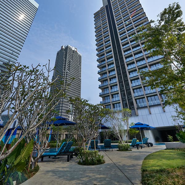
6Capsquare Condominium
Condominium · 1 – 3 Bedrooms6min
From RM3,800/mo
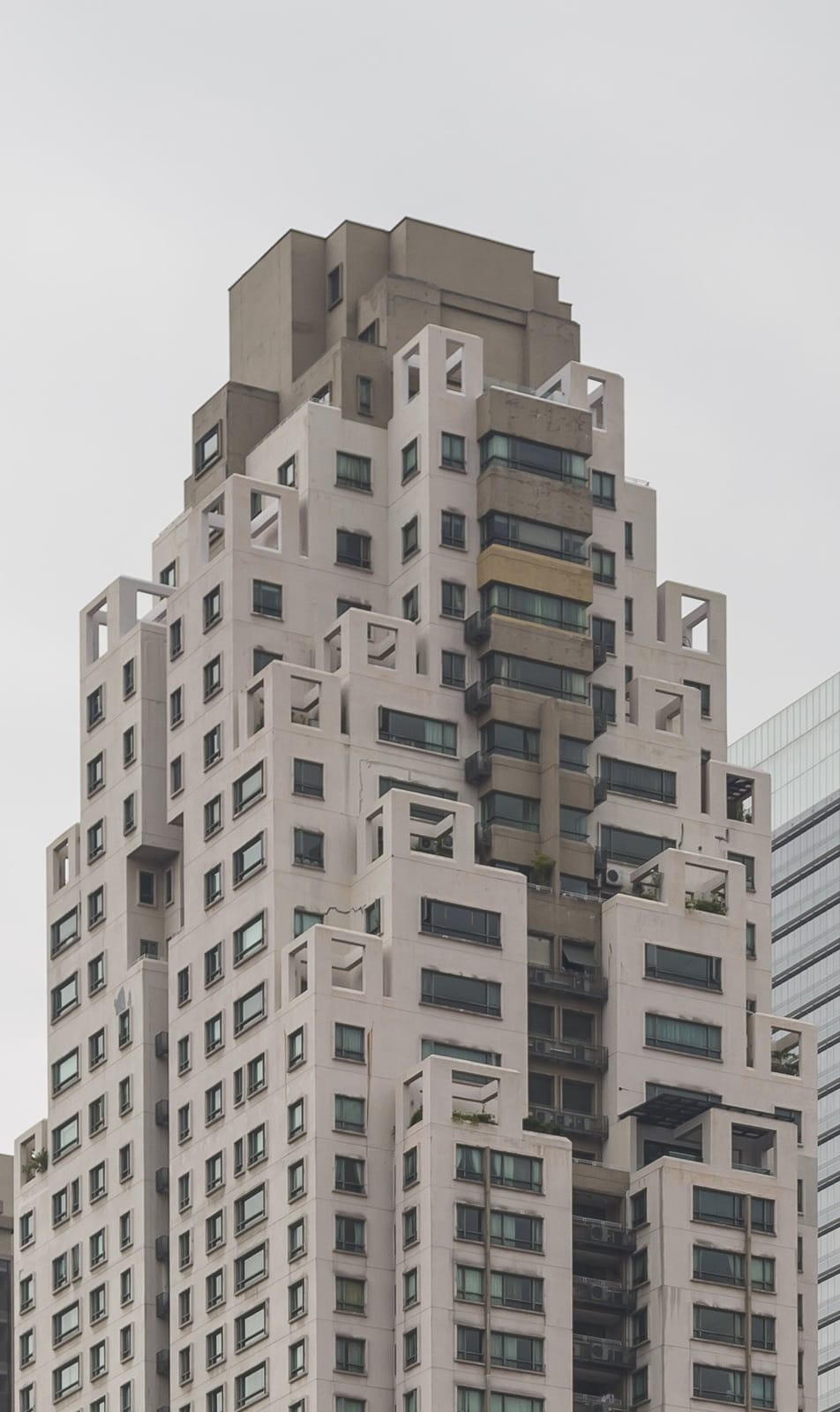
The Capsquare Residences
Condominium · 2 – 4 Bedrooms8min
From RM3,000/mo
Malayan Mansion
Condominium · 1 – 3 Bedrooms8min
Est. RM4,500/mo
Serenity
Condominium · 1 – 3 Bedrooms10min
Est. RM4,400/mo
Menara Antara
Condominium · 3 Bedrooms10min
From RM6,200/mo
Anggun Residences
Serviced Residence · Studio – 2 Bedrooms11min
From RM2,500/mo
Lanson Place
Condominium · 1 – 3 Bedrooms11min
Est. RM4,000/mo
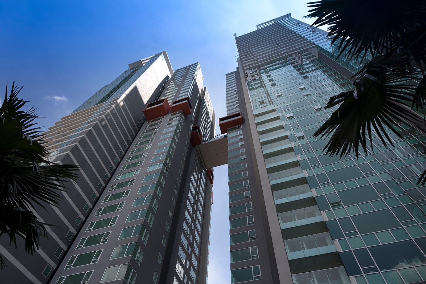
Verticas Residensi
Condominium · 1 – 3 Bedrooms12min
From RM3,200/mo
Villa Puteri
Condominium · 1 – 3 Bedrooms12min
Est. RM4,900/mo
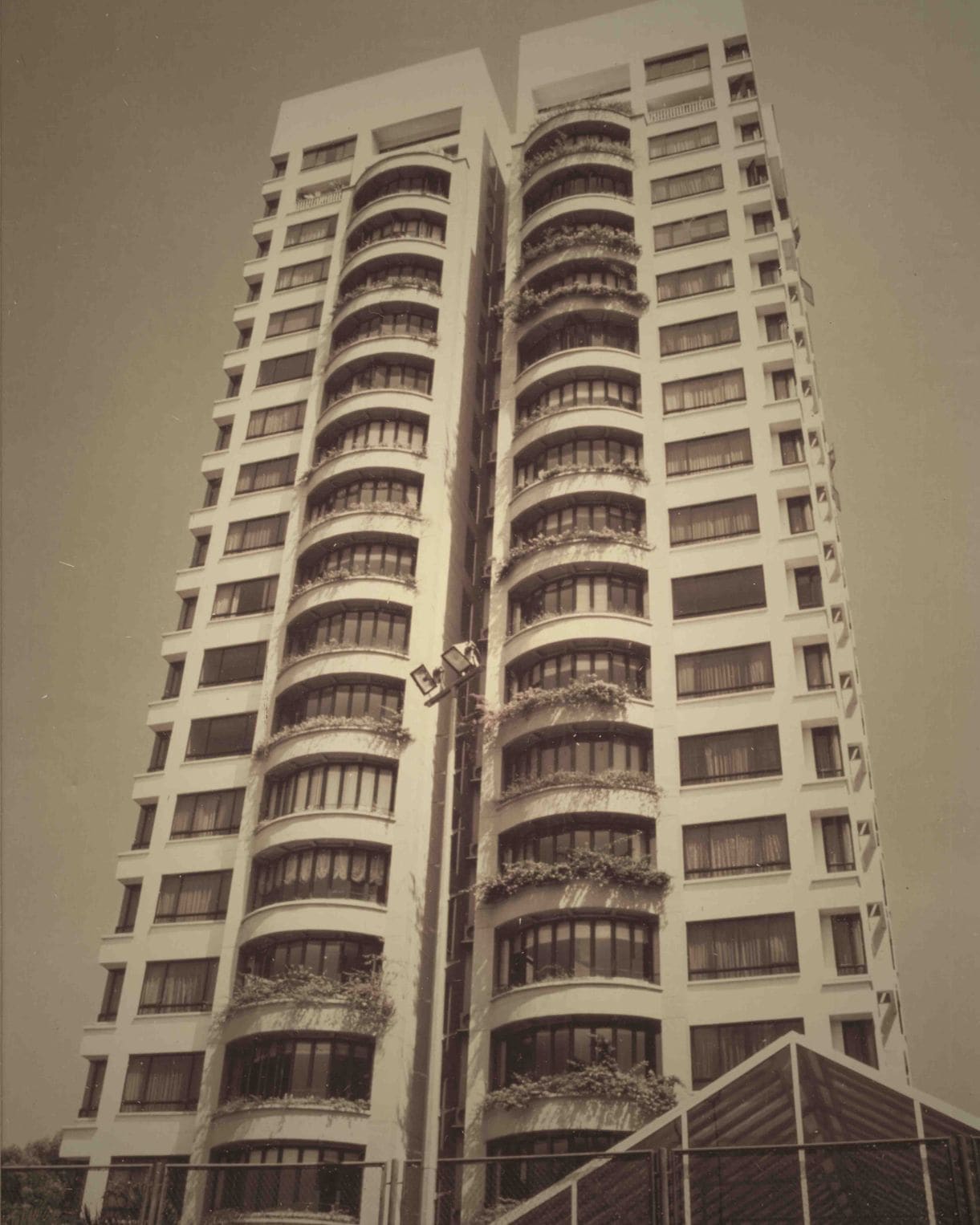
Regency Tower
Condominium · 3 – 4 Bedrooms12min
From RM6,500/mo
Six Ceylon
Condominium · 1 – 2 Bedrooms13min
From RM2,600/mo

Pavilion Ceylon Hill
Condominium · 1 – 3 Bedrooms13min
From RM3,200/mo
Laman Ceylon
Condominium · 1 – 3 Bedrooms14min
From RM2,500/mo

The Manhattan
Condominium · 1 – 3 Bedrooms14min
From RM3,400/mo
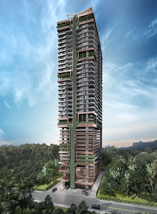
Skylon Residences
Condominium · 1 – 3 Bedrooms14min
From RM3,300/mo
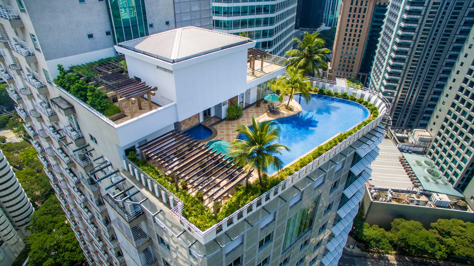
Harvard Residence
Serviced Residence · 2 – 4 Bedrooms15min
From RM6,500/mo
Menara Bukit Ceylon
Condominium · 2 – 3 Bedrooms15min
From RM3,000/mo
Downtown Condominium
Condominium · 1 – 3 Bedrooms15min
Est. RM5,100/mo
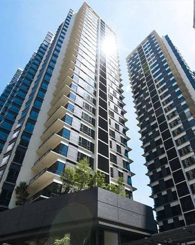
St Mary Residences
Condominium · 1 – 4 Bedrooms15min
From RM4,000/mo
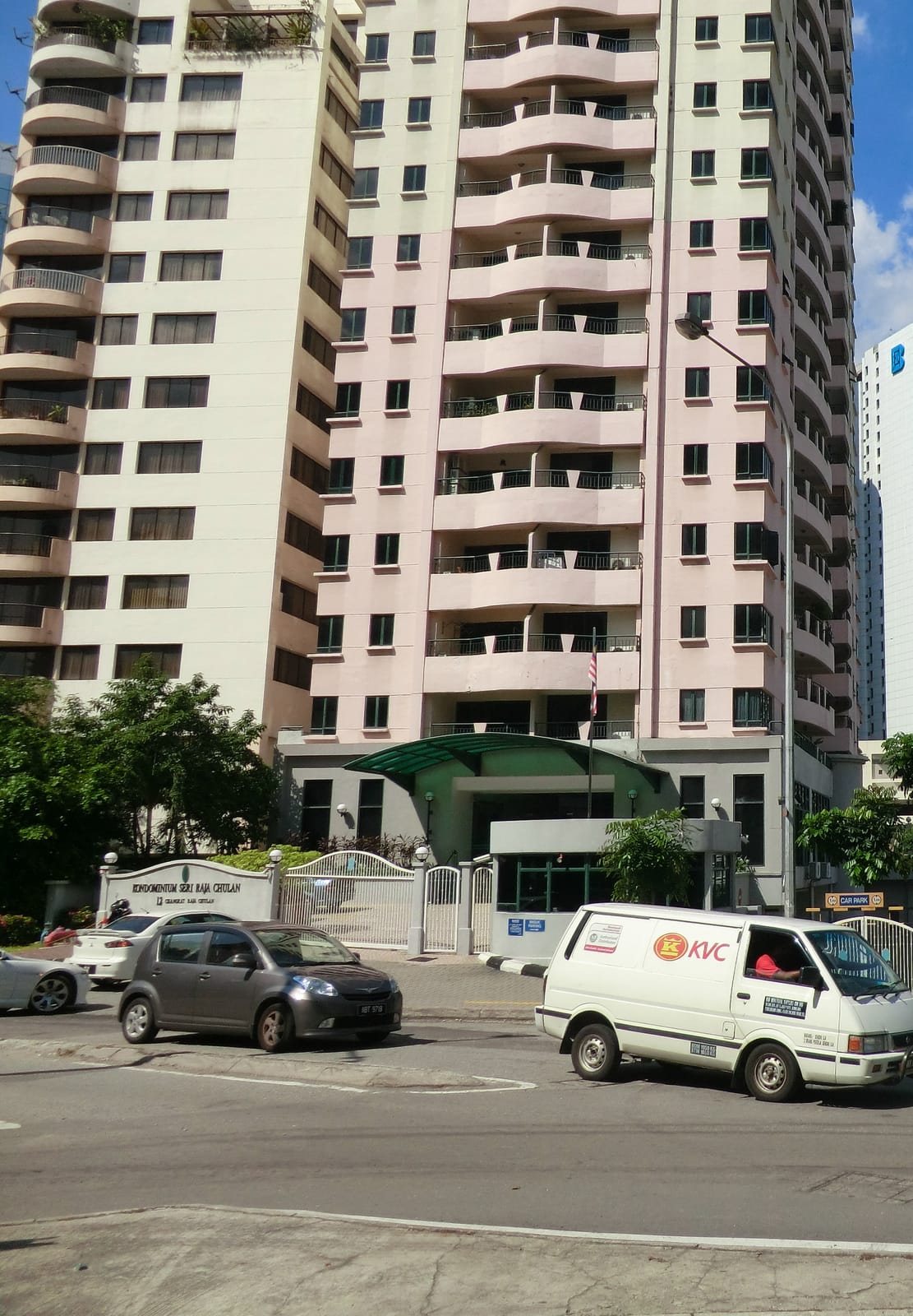
Kondominium Seri Raja Chulan
Condominium · 1 – 3 Bedrooms15min
From RM3,800/mo
City Gardens Condominium
Condominium · 3 Bedrooms15min
From RM3,000/mo
Fortune Court
Condominium · 1 – 3 Bedrooms16min
From RM2,000/mo
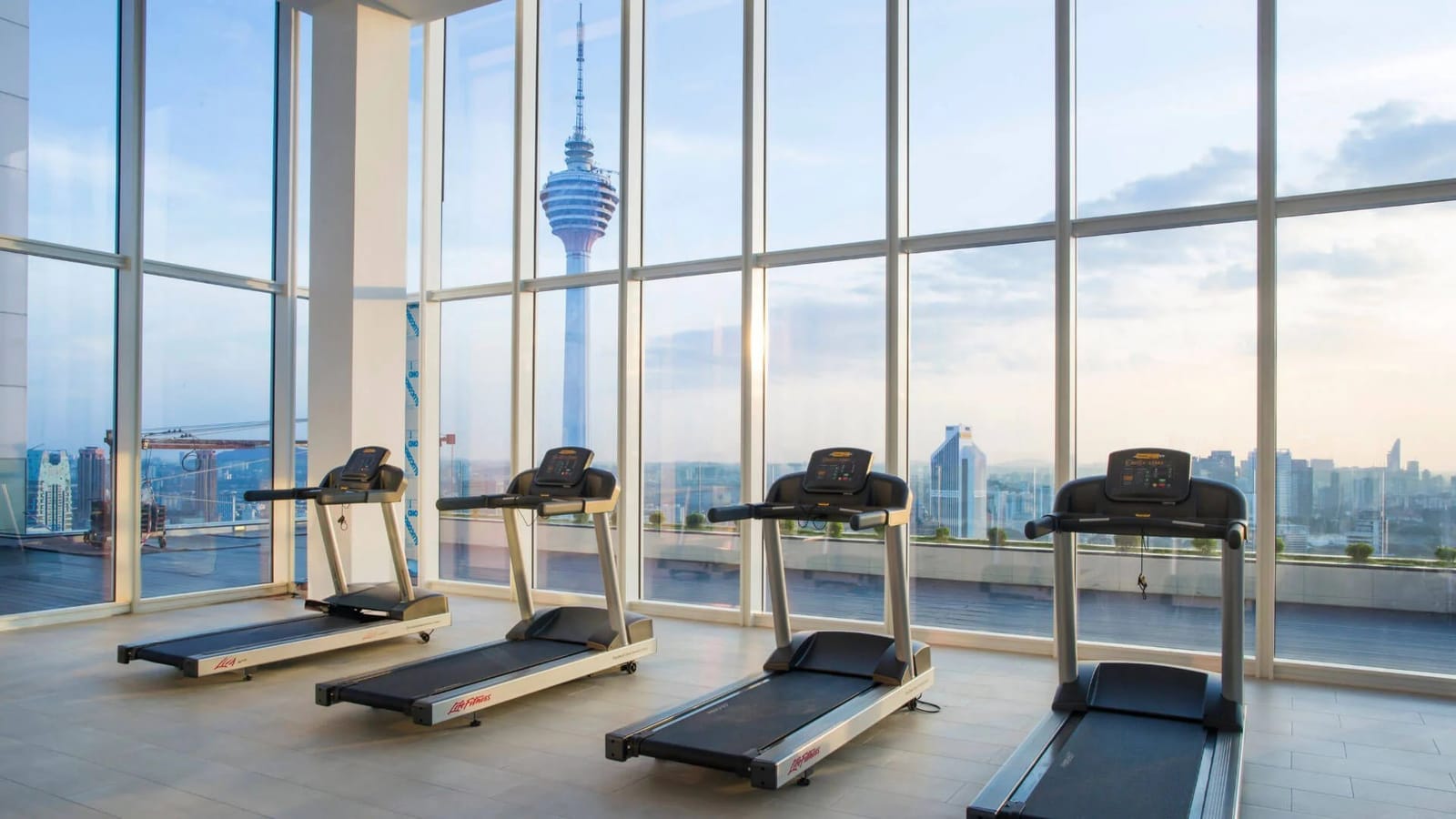
The Face Suites
Serviced Residence · 1 – 2 Bedrooms16min
From RM3,800/mo

Oasia Service Suite
Serviced Residence · Studio – 2 Bedrooms16min
Est. RM4,400/mo
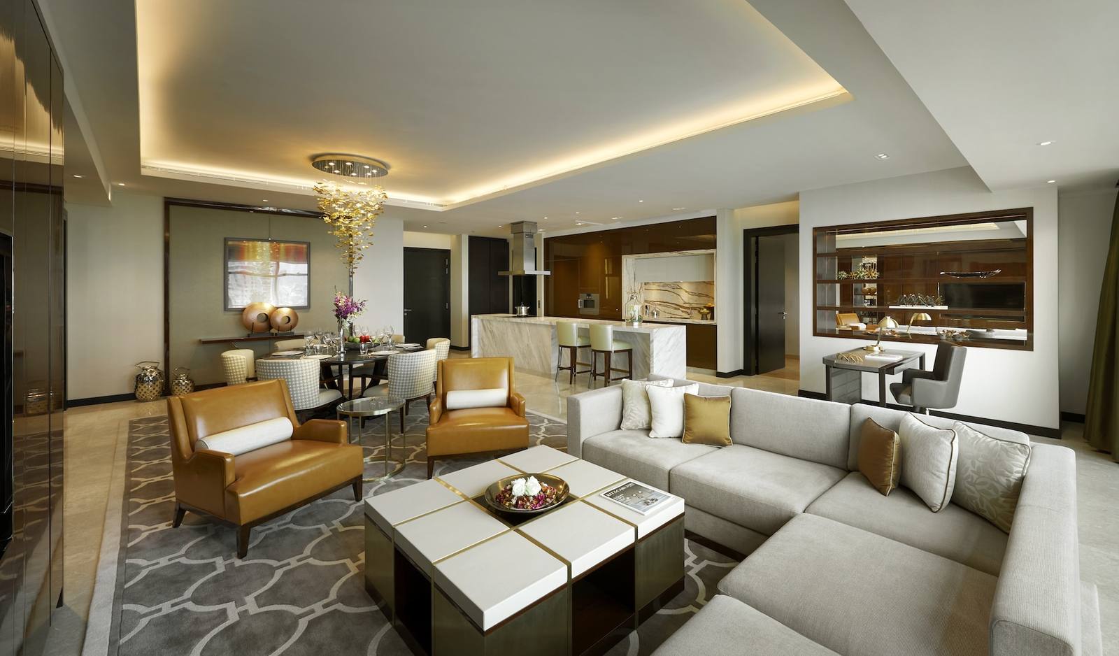
The Ritz-Carlton Residences Kuala Lumpur
Condominium · 1 – 4 Bedrooms Covered16min
From RM8,500/mo
Seri Bukit Ceylon
Condominium · 1 – 3 Bedrooms16min
From RM2,200/mo
The Robertson
Condominium · 1 – 3 Bedrooms16min
From RM2,100/mo
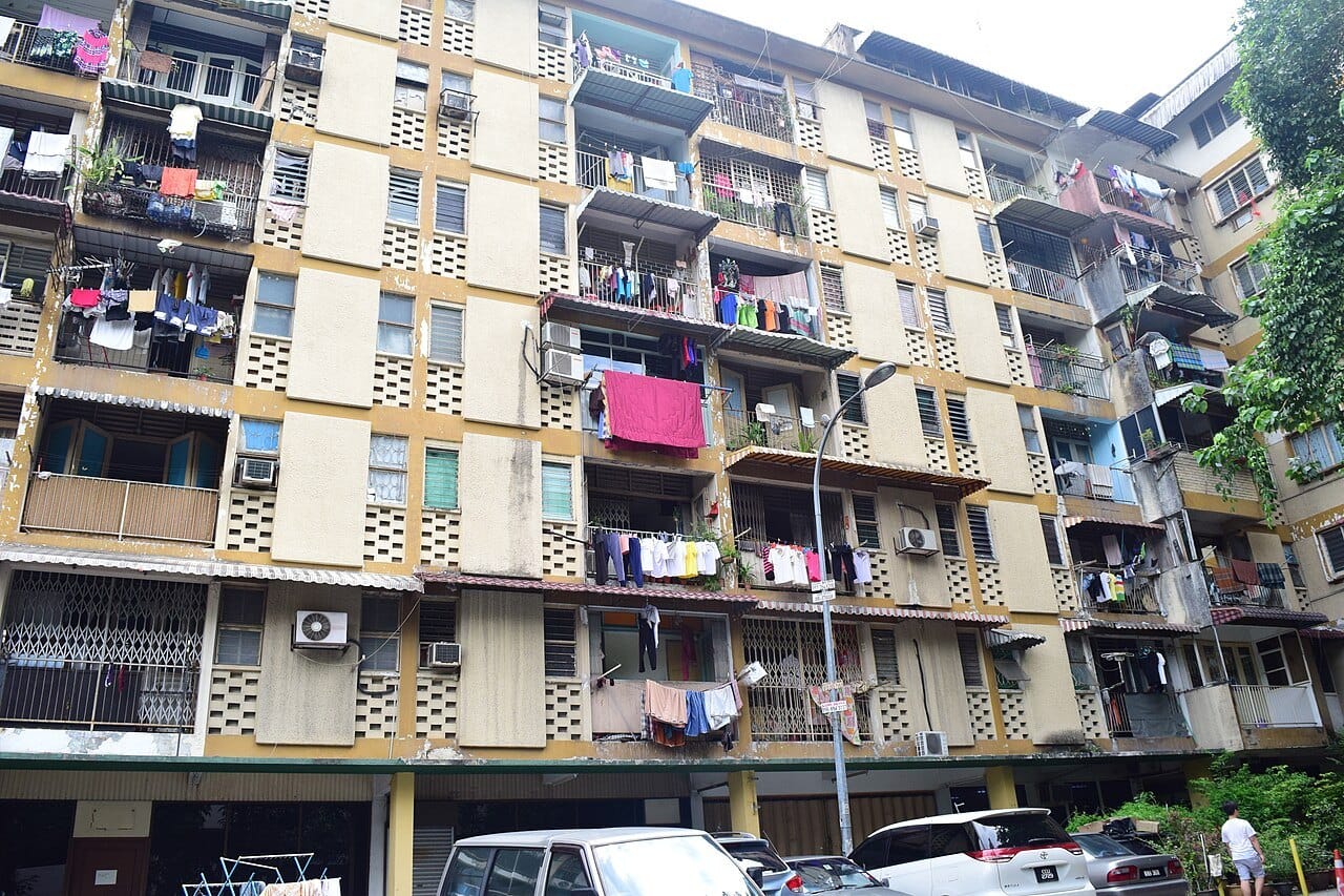
Blue Boy Mansion
Condominium · 1 – 3 Bedrooms17min
Est. RM5,100/mo
Summer Suites Residences
Serviced Residence · Studio – 2 Bedrooms17min
From RM2,200/mo
Angkasa Impian 2
Condominium · 1 – 3 Bedrooms17min
From RM1,950/mo
Yoong Yoong Mansion
Condominium · 1 – 3 Bedrooms17min
Est. RM6,400/mo
Sfera Residence
Condominium · 1 – 3 Bedrooms18min
Est. RM4,500/mo
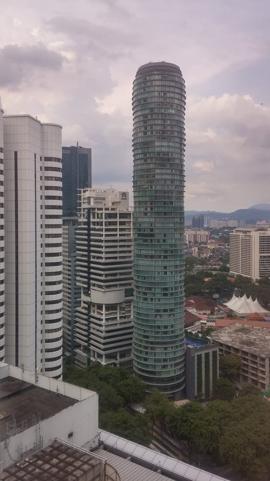
Vortex Suites KLCC
Serviced Residence · 2 – 3 Bedrooms18min
From RM3,200/mo
Mutiara Villa
Condominium · 1 – 3 Bedrooms18min
From RM1,850/mo
The Colony & The Luxe
Condominium · Studio – 2 Bedrooms18min
From RM1,600/mo
Swiss Garden Residences
Serviced Residence · Studio – 2 Bedrooms18min
From RM2,350/mo
Crest Residences
Serviced Residence · 3 Bedrooms18min
From RM4,500/mo

Quill Residences
Serviced Residence · 1 – 2 Bedrooms Covered18min
From RM2,900/mo
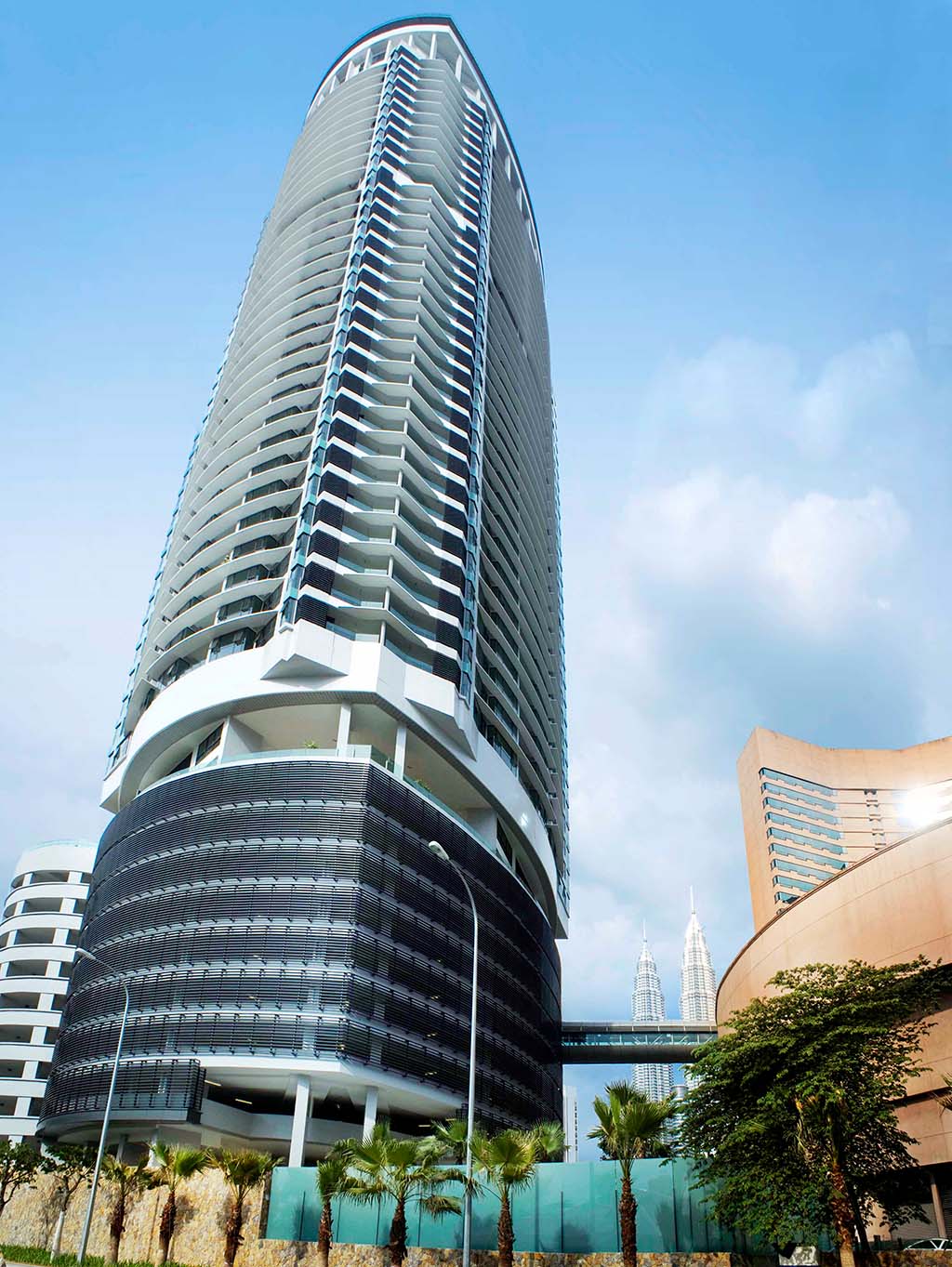
Cendana
Condominium · 2 – 4 Bedrooms19min
From RM5,500/mo
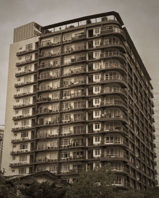
38 Bidara Residence
Condominium · 1 – 3 Bedrooms19min
From RM1,600/mo
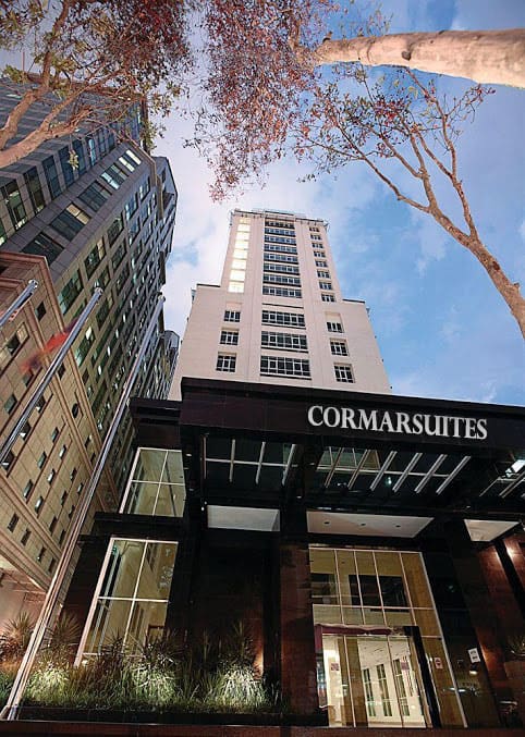
Cormar Suites Kuala Lumpur
Serviced Residence · Studio – 2 Bedrooms20min
From RM2,300/mo
Angkasa Impian
Condominium · 1 – 3 Bedrooms20min
From RM2,000/mo



Legasi Kampong Bharu
From Kampung BaruKelana Jaya Line16min
From RM2,500/mo
Pangsapuri 17 Tingkat
From Kampung BaruKelana Jaya Line16min
Est. RM3,100/mo
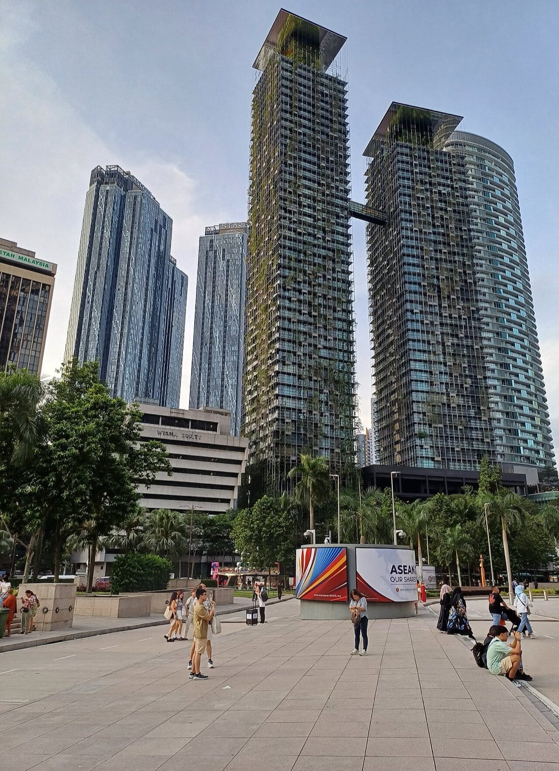
Le Nouvel KLCC
From KLCCKelana Jaya Line17min
From RM10,800/mo
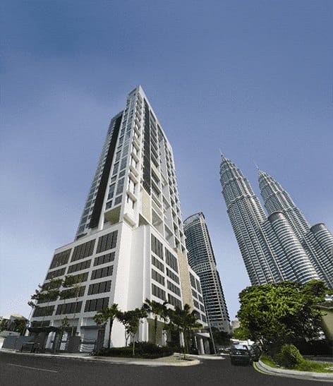
The Meritz
From KLCCKelana Jaya Line18min
From RM4,200/mo
Mayang Court Kondominium
From KLCCKelana Jaya Line19min
From RM2,900/mo
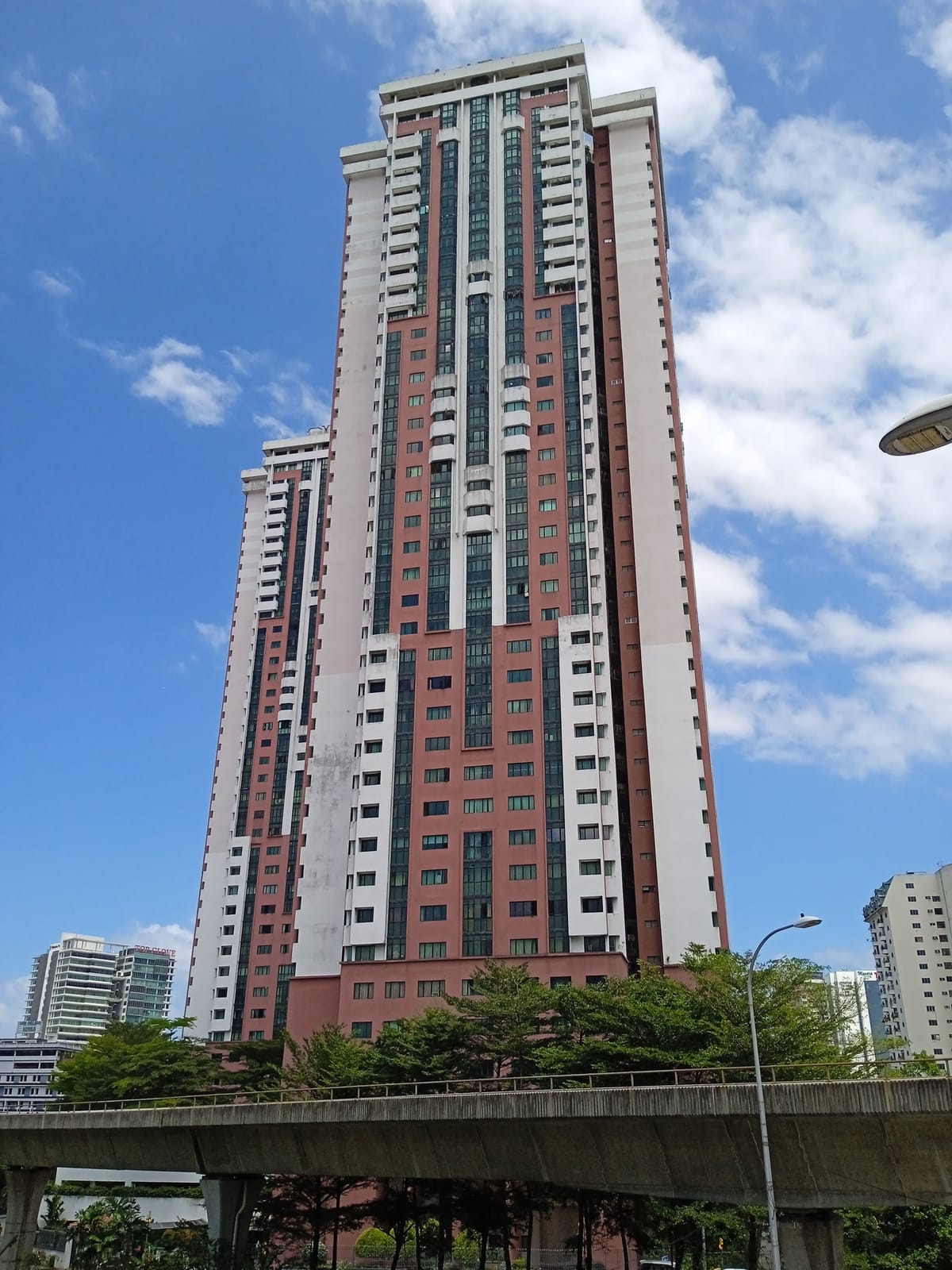
Bistari Condominium
From PWTCAmpang Line20min
From RM2,600/mo

Binjai 8 Premium Soho
From Ampang ParkKelana Jaya Line21min
From RM2,400/mo
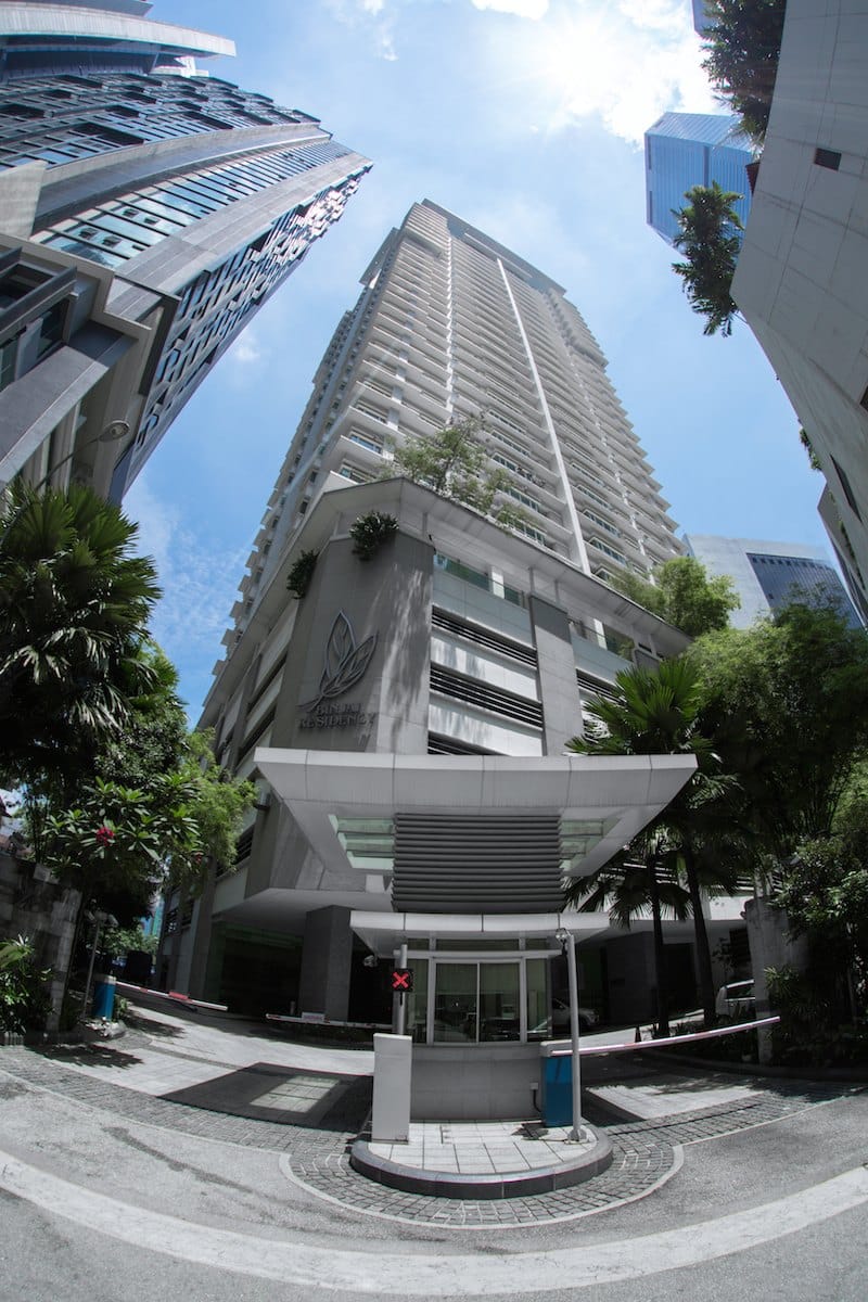
Binjai Residency
From Ampang ParkKelana Jaya Line21min
From RM2,800/mo
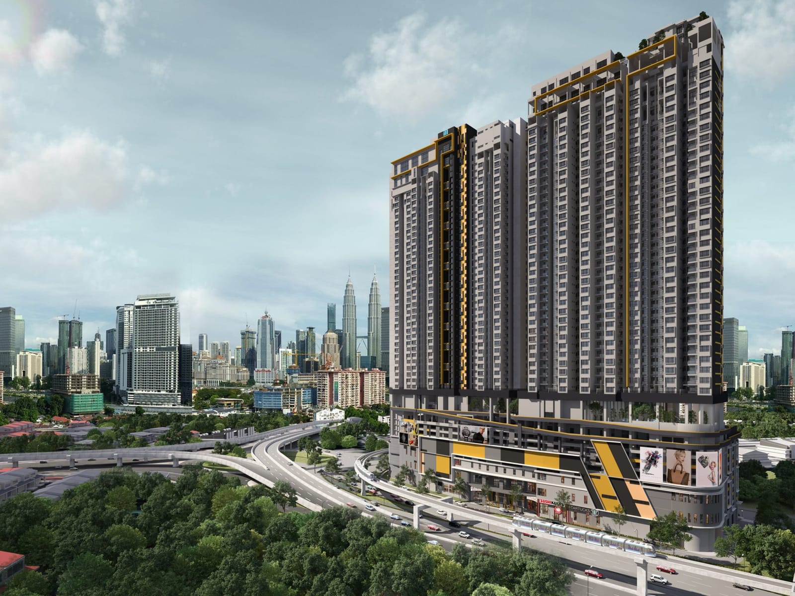
TR Residence
From TitiwangsaAmpang Line21min
From RM2,200/mo
D'Mayang Condominium
From KLCCKelana Jaya Line21min
From RM2,800/mo

Oxley Towers
From KLCCKelana Jaya Line21min
From RM6,800/mo
The Panorama KLCC
From KLCCKelana Jaya Line21min
From RM2,800/mo


KTM Komuter is on a reduced timetable until the end of 2026 while the line is double-tracked: trains every 15 to 30 minutes at rush hour, and on some stretches none in the middle of the day. Check KTMB's timetable before you count on it.
Getting there
Stations within a walk.
- 7min
- Dang WangiKelana Jaya Line12min
- 14min
- Bukit NanasKL Monorail14min
- BandarayaAmpang LineSri Petaling Line15min
- Pasar SeniKelana Jaya LineKajang Line15min
- 17min
- Medan TuankuKL Monorail19min
- MerdekaKajang Line19min
- MaharajalelaKL Monorail20min
- Raja ChulanKL Monorail20min
How we measure
80 m / min
Mapped OpenStreetMap footpaths to the nearest school edge.
Door to school
Weekday morning walk, platform wait, ride and any line transfer.
Before you sign
See deposits & lease checklist.
Questions
Living near St. John's International, answered.
Cambridge Primary, IGCSE and A Level (Year 1 to A Level). The primary and secondary schools are separate buildings on Jalan Bukit Nanas. Fees, waiting lists and admissions are on the school's website, sjis.edu.my.
Masjid Jamek LRT, on the LRT Kelana Jaya Line, LRT Ampang Line and LRT Sri Petaling Line, about 7 minutes on foot to the edge of the school grounds. Dang Wangi (12 minutes), Plaza Rakyat (14 minutes), Bukit Nanas (14 minutes), Bandaraya (15 minutes), Pasar Seni (15 minutes), Bank Negara (17 minutes), Medan Tuanku (19 minutes), Merdeka (19 minutes), Maharajalela (20 minutes) and Raja Chulan (20 minutes) are also within walking distance.
43 homes on Trainside are within a 20-minute walk of the school. The nearest are Selangor Mansion (6 minutes), 6Capsquare Condominium (6 minutes), The Capsquare Residences (8 minutes), Malayan Mansion (8 minutes) and Serenity (10 minutes).
Yes. 318 homes on Trainside are under 40 minutes from the school by rail, door to door, counting the walks at both ends, the wait and any change of line. Many schools also run buses, so ask which areas they cover.
School grounds, footpaths and buildings © OpenStreetMap contributors.